Mallaig and District Canoe Club - Trips 2024
Double click any image to enlarge. Click to decrease size again.
|
Club Calendar |
|---|
|
|
|
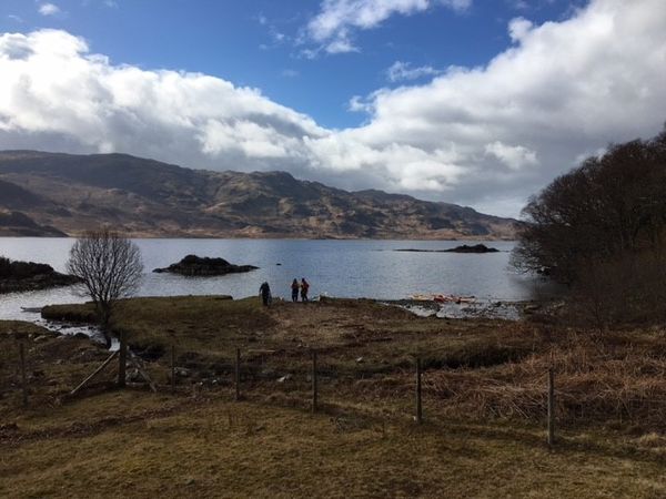
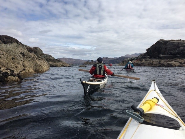
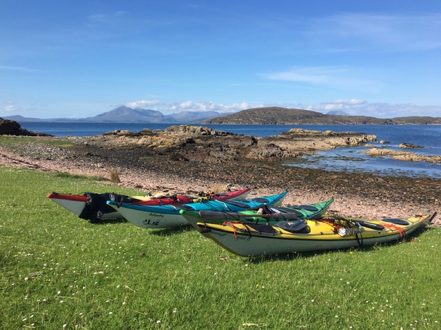
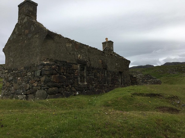
Sunday 24th March -Loch Morar Brinacory Circle The Club’s first scheduled paddle of 2024 took place on a chilly but calm Sunday towards the end of March. Twelve paddlers set off from Bun an Loin Bay (aka Viv’s Bay!) on Loch Morar and followed the north shore of the loch eastwards for about seven kilometres to Brinacory. From the water it is amazing to see how the path to Tarbet has been built up …the work of many men (and perhaps women!) over many years with very few tools and still a popular right of way today. Lunch was taken at Brinacory on the shore under the remains of the Schoolhouse. After eating, we paddled round Brinacory Island and headed across the loch to the little tree covered Eilean Allmha (the nearest meaning I found for Allmha was “alien, exotic, Foreign, Stranger”). Perhaps the little island holds a secret or two! Paddling west along the south shore of the loch we were able to clearly see the parallel furrows of the lazy beds. These were formed when potatoes were cultivated by laying them on the surface and covering them with kelp and with soil from a trench on either side of the bed. They were called “lazy beds” by contemporary writers because they were seen as a lazy method of farming. However, it seems to me that gathering kelp from the shore and transporting it to the hillside around the loch was anything but lazy! Distance travelled: 17.8km. |
|||||
|
|
|
|
|
||
|
Paddlers: Joan, Elizabeth, Bill S. & Jill, Peter K. Tasmin & Julie, Iain, Ruth, Mike, Kirsty and Lucy (who reduced the average age of the group by quite a few years!) |
|||||
|
|
|||||
|
Saturday 20th April 2024 - Ardnish
|
|||||
|
|
|
|
|||
|
Paddlers: Joan, Sheila, Ruth, Iain, Bill Sk, Adrian and Ania |
|||||
|
|
|||||
|
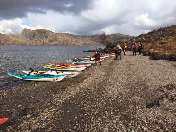
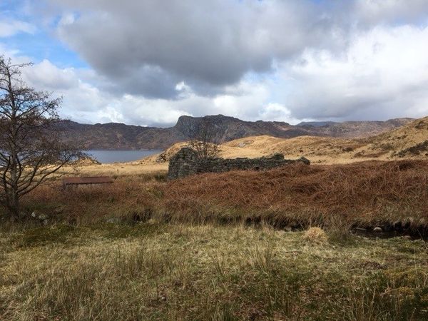
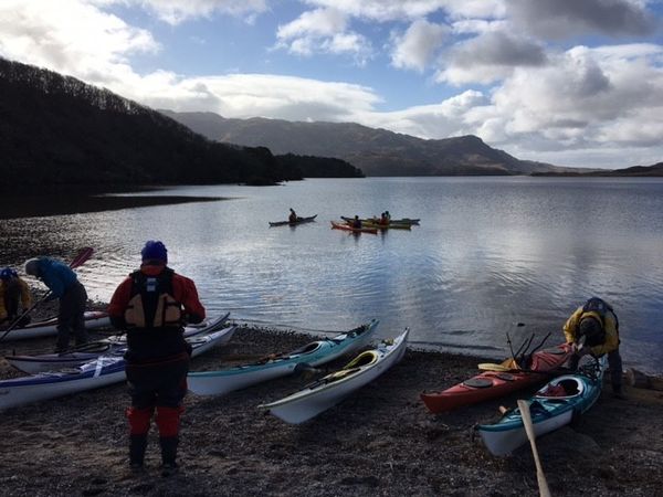
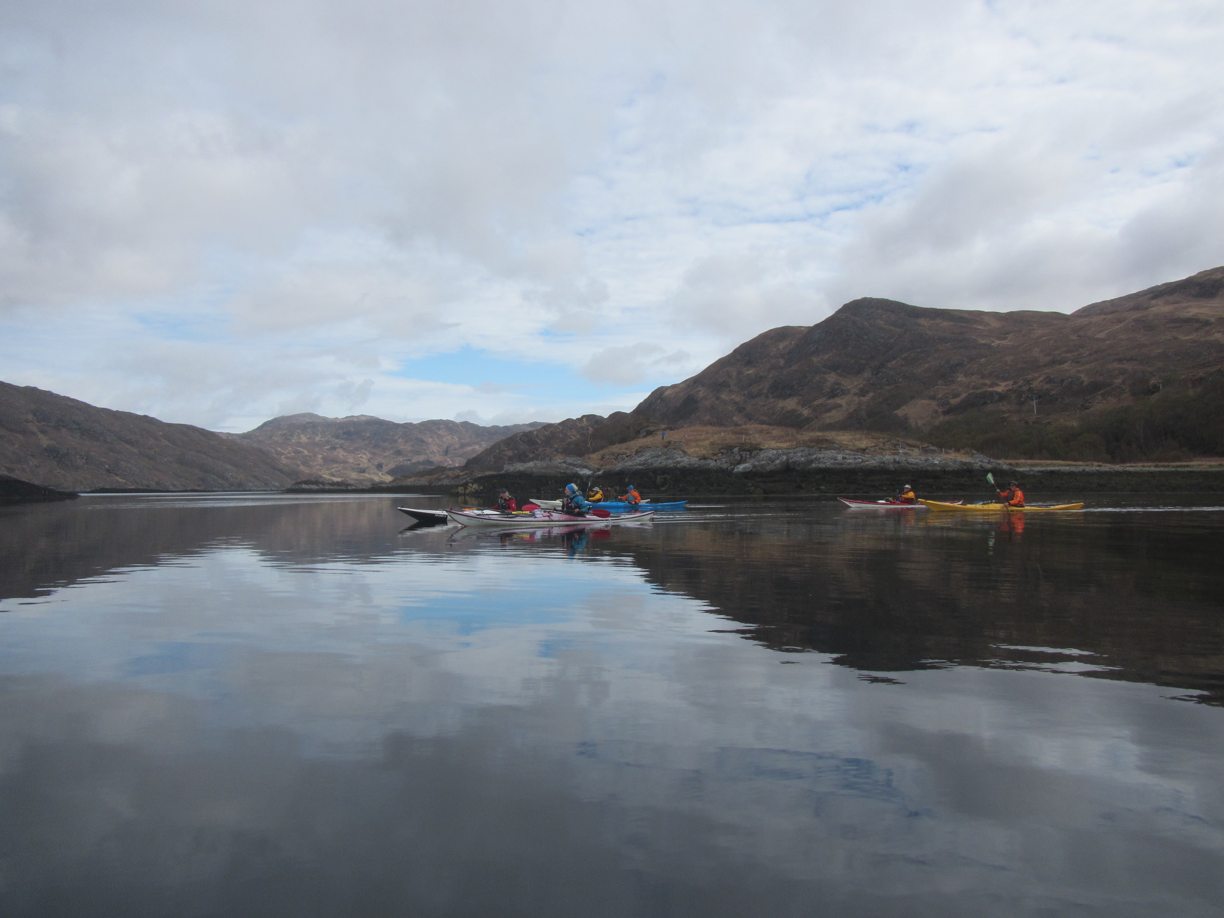
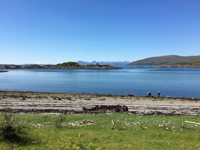
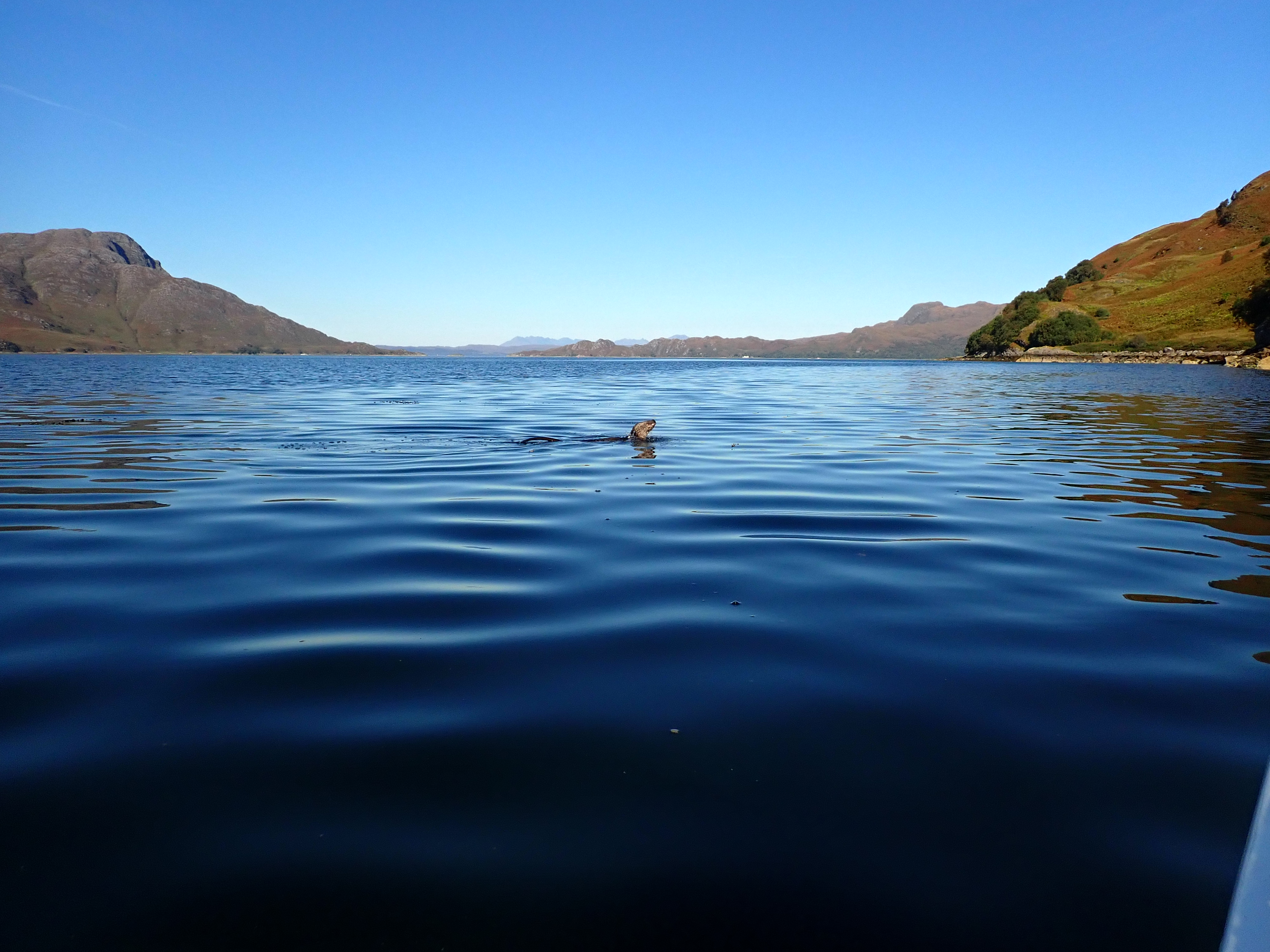
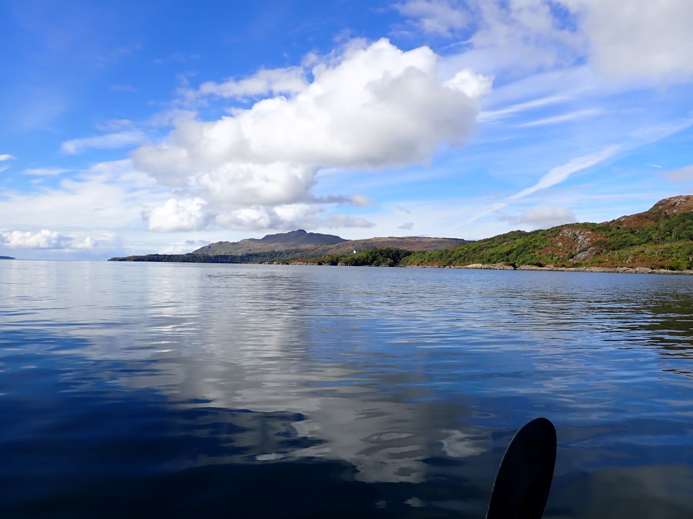
Summer Cruise 2024 - part one Saturday 18th to Tuesday 21st May Day 1 Shieldaig to Cuaig (21km) Six paddlers gathered at Shieldaig on a dull and breezy Saturday for the start of the first part of the Club�s Summer Cruise from Shieldaig to Loch Carron. As it was around 1pm, the group made a quick lunch stop at Camas Ruadh before setting off into a stiff wind across the mouth of Upper Loch Torridon and along the north shore of Loch Torridon before crossing to the south shore from Araid. The aim was to camp for the night at Fearnmore just south of Rubha na Fearn. However no suitable campsite was found and as the wind had dropped and the sea had turned to flat calm it was decided to round the point and camp at Cuaig. Just before rounding the point they were lucky enough to get a close up view of a couple of hunting otters. Tired after a long day the group soon had their tents pitched, dinner eaten and settled down for a well-earned sleep! Day 2 Cuaig to Uags (28km) Having packed up wet tents (there was mizzle in the night!) the group set off south from Cuaig pushed along by a gentle north wind. They stopped to have a look at the row of ruined cottages at Lonbain (from the gaelic An lon Ban�white damp meadow). These had been �tarted up� for the filming of the 1983 production �Ill fares the Land� about the last days of habitation on St Kilda. One of the cottages is in the process of being fully restored including a rethatch. After a break to admire the huge beach at Sand they stopped at Applecross for ice cream before setting off towards Uags (from Uamhag meaning Hollow). On this stretch the northerly wind had picked up which made for tricky paddling, but the group was soon paddling into Uags bay where there is great camping and an MBA (Mountain Bothy Association) bothy which they could use to cook and escape the weather and/or the midge! Tents were soon pitched and dinner was eaten alfresco with the sun setting behind the Cuillins to the west while plans were laid for a paddle to the Crowlin islands the following day. Day 3 The Crowlin Islands (16km) The Crowlins which lie 2km west of Uags are made up of three islands � Eilean Beag (Small Island), Eilean Meadhonach (Middle Island) and Eilean Mor (Big Island). A narrow channel of sea runs between Middle and Big Islands which is only navigable around high tide. The paddlers stopped at the south entry to the channel and walked to where they could see the water coming from the north end before having a snack and returning to the water. Paddling up the west coast of Eilean Meadhonach they admired the twisted red rock layers in the cliffs and pondered on the geology. After lunch the group paddled into the north end of the channel to see how far they could get. The tide was coming in fast and they managed to carefully navigate the kayaks all the way through. Returning to Uags dead wood was gathered from the oak woods behind the bothy and after another midge free dinner eaten outside the group retired to the bothy, lit the fire and enjoyed the craic! Day 4 Uags to Loch Carron (23km) Day four dawned calm and sunny and the paddlers were up and about early to break camp, say farewell to Uags and set off on the last leg of their journey. The plan was to lunch at the Kishorn Islands before passing through the narrows at the entrance to Loch carron at slack tide. Views soon opened up of the Skye Bridge and Plockton on their right and a sea eagle was spotted in the oak woods west of the deserted settlememt at Airigh Drishaig. As they set off across to the Kishorn Islands a huge oil platform hove into view at the mouth of Loch Kishorn. This turned out to be Diamond Drilling�s Ocean GreatWhite rig whose drilling equipment collapsed during a storm in early February. After a leisurely lunch on the shore behind the islands the group set off towards the entrance to Loch Carron. Here the landscape became more populated with small clutches of whitewashed homes at Ardaneaskin, Leacanashie, Stromemore and Strome Ferry (no ferry!). The ruins of Strome Castle could be seen perched strategically on a rock overlooking the narrows guarding the entrance to Loch Carron which reaches deep into the interior. The castle was built in the early 1400s by Alexander Macdonald, Lord of the Isles. After the battle of Morar (who knew??) in 1602 ownership of the castle was disputed between the Clan Mackenzie and the Clan MacDonell and was eventually demolished and blown up. Five kilometres into the loch the group landed at their takeout in the village of Loch Carron. After running a shuttle to pick up the cars left at Shieldaig, four of the group set off for Broadford in Skye for Part 2 of the Summer Cruise. Did they enjoy the same amazing weather and paddling conditions? Wait and see! |
|||||
|
|
|
|
|
|
|
|
Paddlers: Mike, Kirsty, Iain, Petra, Peter S and Joan |
|||||
|
|
|||||
|
Tuesday 11th June 2024 - Arisaig
|
|||||
| Paddlers: Ruth, Jeremy, John C and Peter K. | |||||
|
|
|||||
|
Tuesday 11th June 2024 - Arisaig
|
|||||
| Paddlers: Ruth, Joan, Bill& Elvire | |||||
|
|
|||||
|
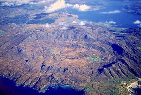
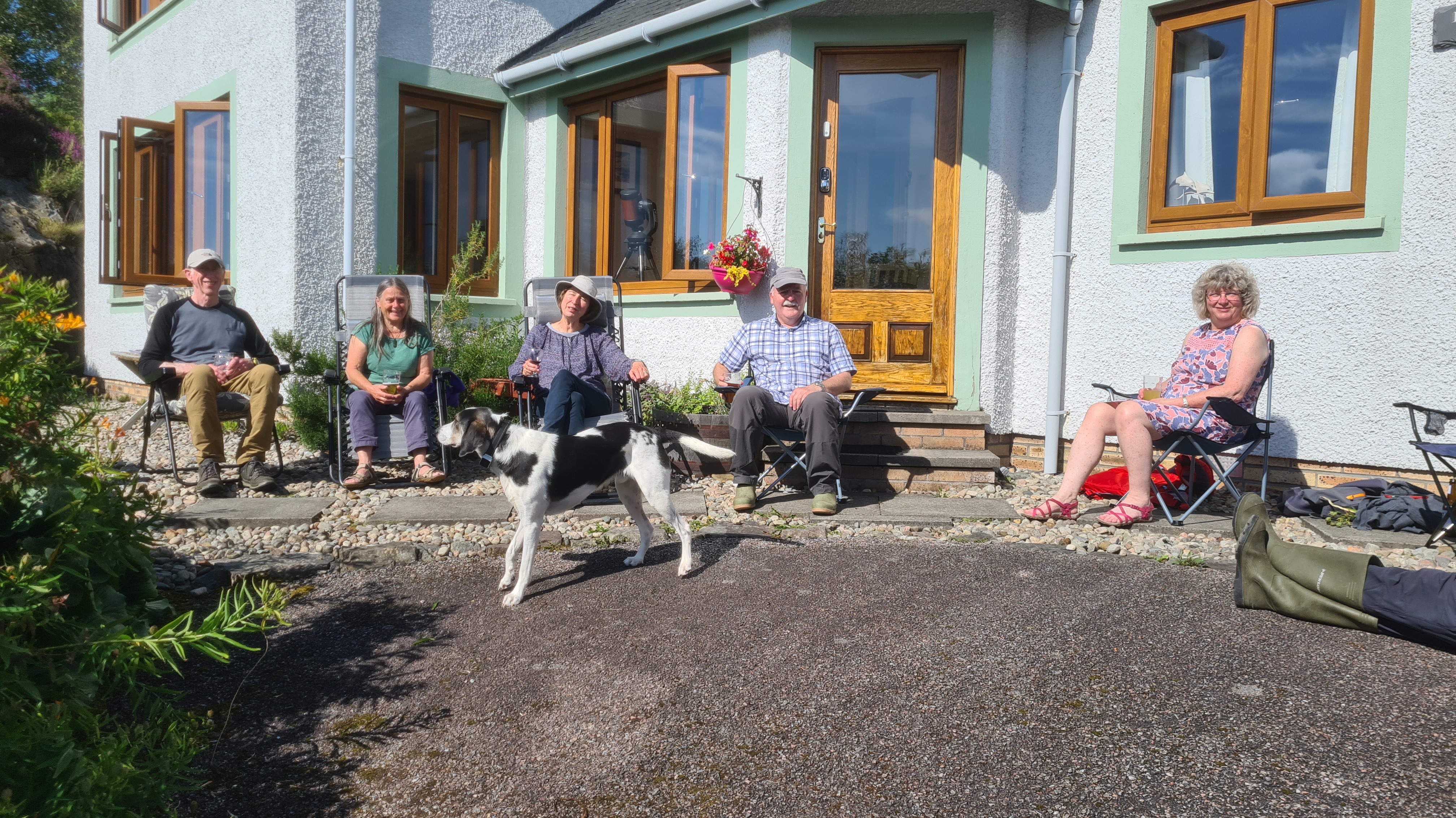
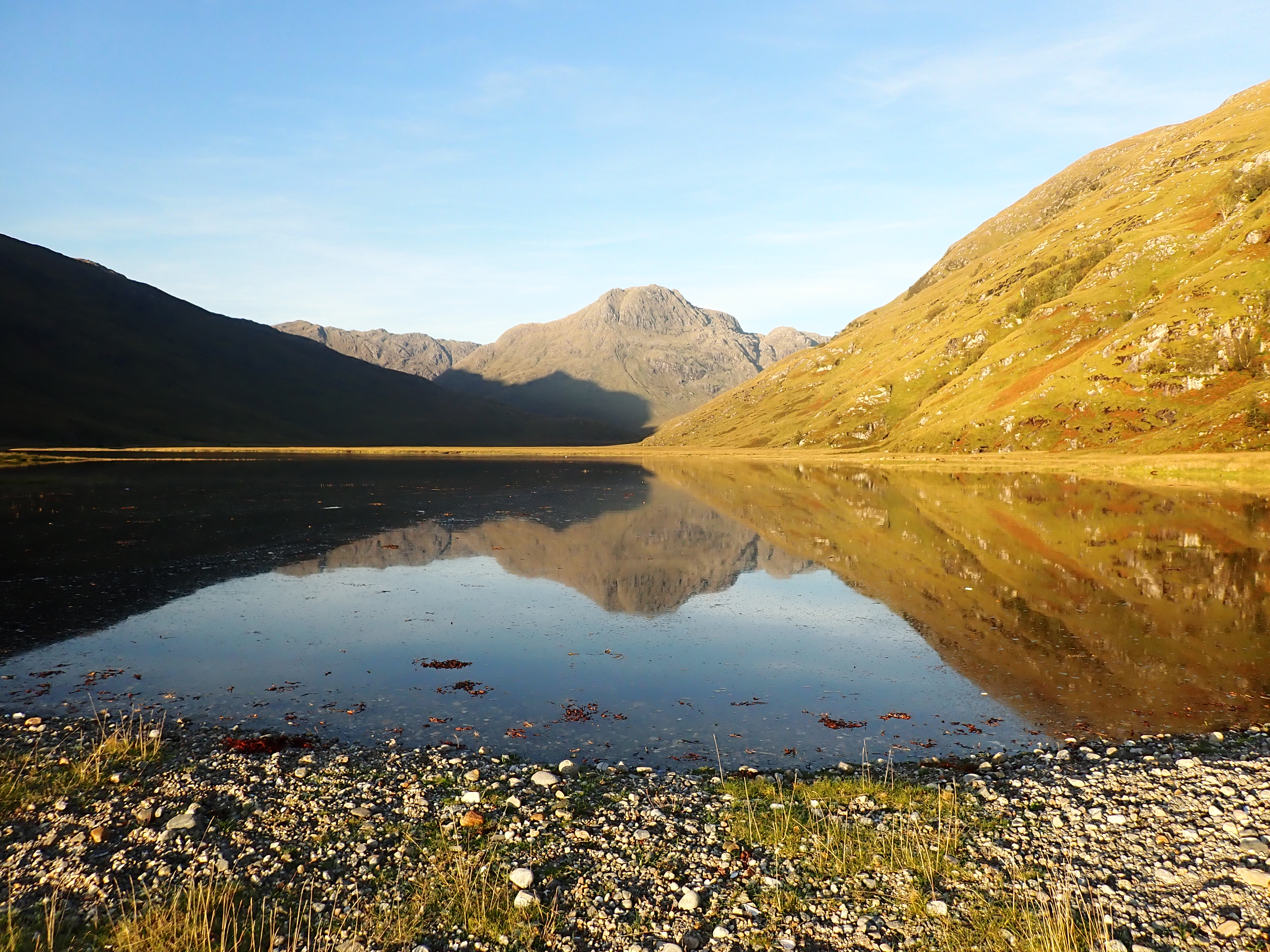
Saturday 23rd - Sunday 24th June 2024 - A "circumnavigation" of the Ardnamurchan peninsular DAY 1 Three days in June to kayak from Salen to Ardtoe. Long days, good weather .� what could possibly go wrong? Let�s guess � the weather. A week (and more) of forecast watching kept us guessing, planning and re-planning until, a day before start date things fell into a sort of place, a plan was finally hatched and �.. it worked! Ardnamurchan or bust. Friday and Saturday�s force 4/5 wind and rain forecasts made the prospect of paddling in either direction unattractive and unadvisable along challenging sections of coast. A last minute opportunity to camp at Ardnamurchan campsite presented a possibility for two good days at the far end of the peninsular. On Saturday four tents were pitched by 12.30 and 4 of the group enjoyed a walk to the historic village site at Glendrian, in the inner ring of the caldera (apparently technically a lopolith rather than a caldera) of the 5 mile diameter volcanic crater, which is thought to have been inhabited from the 1300s until this century. Photo credited to �The Real Wild West�. There were many golden-ringed dragonfly, one of which became rather attached to Joan, possibly attracted by her tasty-looking purple socks. On leaving the settlement we were treated to a fly-by of 9 Red Arrows, en route to Morar. Continuing towards the Glendrian caves the terrain became difficult, a deer fence blocked the way, the weather deteriorated and time ran out, so a retreat was beat to join the Sanna swimmer group back at the campsite, where a congenial evening was enjoyed in the comfort of a campervan. |
|||||
|
|
|
|
|
|
|
|
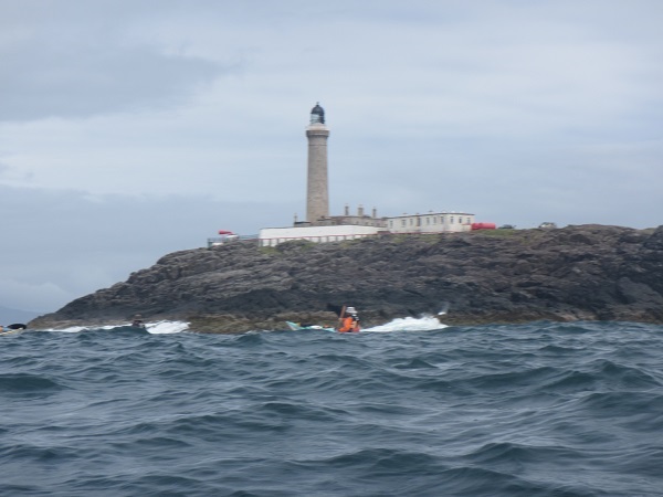
DAY 2 Expecting to wake to sunshine, it was disappointing to discover drizzle and grey skies but, by the planned shuttle time of 09:15 things were looking brighter. While the shuttle to Portuairk was effected, the remaining team stumbled down the stony shore with boats and kit ready for a 10:30 departure to maximise the journey round the Point. Getting away at 10:40 a 6km paddle into a comfortable force 3 got us to the wonderful little beach and hinterland at Eilean nan Seacdh Seisrichean (island of the seven sixes?). Although the time allowance was 30 minutes, a sunny hour of eating, chatting, admiring the vegetation and watching three birds, one hovering impressively on the spot above the cliffs (possibly a red kite) and 2 Peregrine falcons squabbling noisily up high, elapsed before re-embarking for the 4kms to the lighthouse, with whatever conditions that might bring (forecast following sea force 3/4 with 1.3m swell). A glance over the back suggested it would be more of the same, but experience proved to be a bit more challenging, with swell, clapotis, a following sea and a generally bumpy ride that required a good amount of focus and loose hips. Leaving the sheltered first lunch spot we took on the challenge of a line of incoming lively waves over rocks that proved to be fun rather than deadly. The lighthouse hove into view with much jubilation. Whilst most refrained from photography for fear of losing one thing or another, Iain, riding on Cloud Nine and clearly unphased by the rock and roll, impressively managed quite a few. Somewhere along the way a fantastically agile and very large fish (salmon?) was seen leaping vertically out of the water and returning with gravity three times. The Point passed and no crisis required immediate landing, so we continued on to the headland before Portuairk and convened to plan the onward route. Speeds of 11kms were achieved on this stretch, where we had the benefit of south westerly wind and the north easterly tidal stream pushing us along, with surfy waves to ride. It was originally thought we might continue round to Rubha an Dun Bhain or beyond and maybe check out the caves and Dun, but strengthening winds from the SW discouraged this, so it was agreed to paddle across to the far Sanna beach, where the tide was by now low but incoming, for a celebratory cake-fest. By this time Sanna was living up to its Caribbean reputation (but much, much better) with bright blue skies and sparkling blue seas. Views across to the cliffs of Muck were striking. Dragging the boats up the beach we encountered Roddy McDowell (Kayak Bute) who noted a Tiderace boat and various connections were made. As the boats began to drift about on the incoming tide a move was reluctantly made to continue. An outward trajectory being proposed, we headed out into more lively seas and wind and set our sights on Portuairk (which we now knew how to pronounce) where the vehicles were parked up the hill. The tide being still fairly well out (day before Springs), the haul up the beach was rather protracted. A later arrival would have facilitated a more easterly approach up a watercourse. Azure seas and skies of an indescribably bright blue made this all a pleasure. It was just a shame that we weren�t continuing the journey. Farewells and shuttles were made and everyone went their way with memories of a foreshortened but brilliant trip. Distance paddled: 16.4km. Distance swum: ? |
|||||
|
|
|
|
|
|
|
|
Paddlers: Joan, Ruth, Elizabeth, Iain, Chris and Sheila |
|||||
|
|
|||||
|
Tuesday 9th July - Sandaig (not Muck!) One of the notional paddles (no date assigned) included on the club calendar was a circumnavigation of the isle of Muck taking the ferry out from Mallaig. Of necessity such a trip has to be at short notice due to needing good weather. Having chosen the dates 9-11th July we were delighted that the forecast seemed to be in our favour! However the weather Gods had other ideas and two days prior to departure the forecast for Muck was for F5/6/7 winds from the north and heavy rain�.not an inviting prospect! So, ferry tickets cancelled and a quick email round it was decided to do a one-day paddle to Sandaig on the north shore of Loch Nevis. The weather in Mallaig as we launched from the slip by the boardwalk was perfect with clear blue skies and light winds. Hard to believe it was so bad on Muck!! After 6km leisurely paddling we took out at the beach behind Eilean Giubhais for first lunch before crossing the loch which was busy with yachts and small motorboats, to Rubha Raonuill. On this crossing we were lucky enough to spot a couple of porpoises heading up towards Inverie. From the point a further 3km took us past two or three lovely sandy beaches to Sandaig bay where the tide was well out. Two paddlers took the brave decision to go for a swim while the others went for a stroll to have a look at the two houses that overlook the bay. Having met and chatted to the two owners of the properties it was time for second lunch and getting back on the water. By this time the blue skies had disappeared behind a veil of cloud and the wind had started to freshen. The plan was to paddle round Eilean Dearg and over to Glas Eilean (The Green Island) to see the seabirds. However, there were young seal pups on the rocks of Eilean Dearg so in order not to disturb them we paddled over to Glas Eilean into the rising wind and waves. Disappointed to see only a large group of cormorants which flew off the island and settled in the choppy waters of the loch, we set a course for Mallaig Mhor then Mallaig Bheag with the winds easing and the sea calming. Landing once again at the slip boats were soon emptied and safely loaded on to roof bars before we all headed homewards. It might not have been Muck, but Muck is not going anywhere and plans are in place for the next weather window �.bring it on! Distance paddled: 18.5km. |
|||||
|
|
|
|
|
||
|
Paddlers: Joan, Sheila, Iain, Ruth, Bill & Elvire and Peter S. |
|||||
|
|
|||||
|
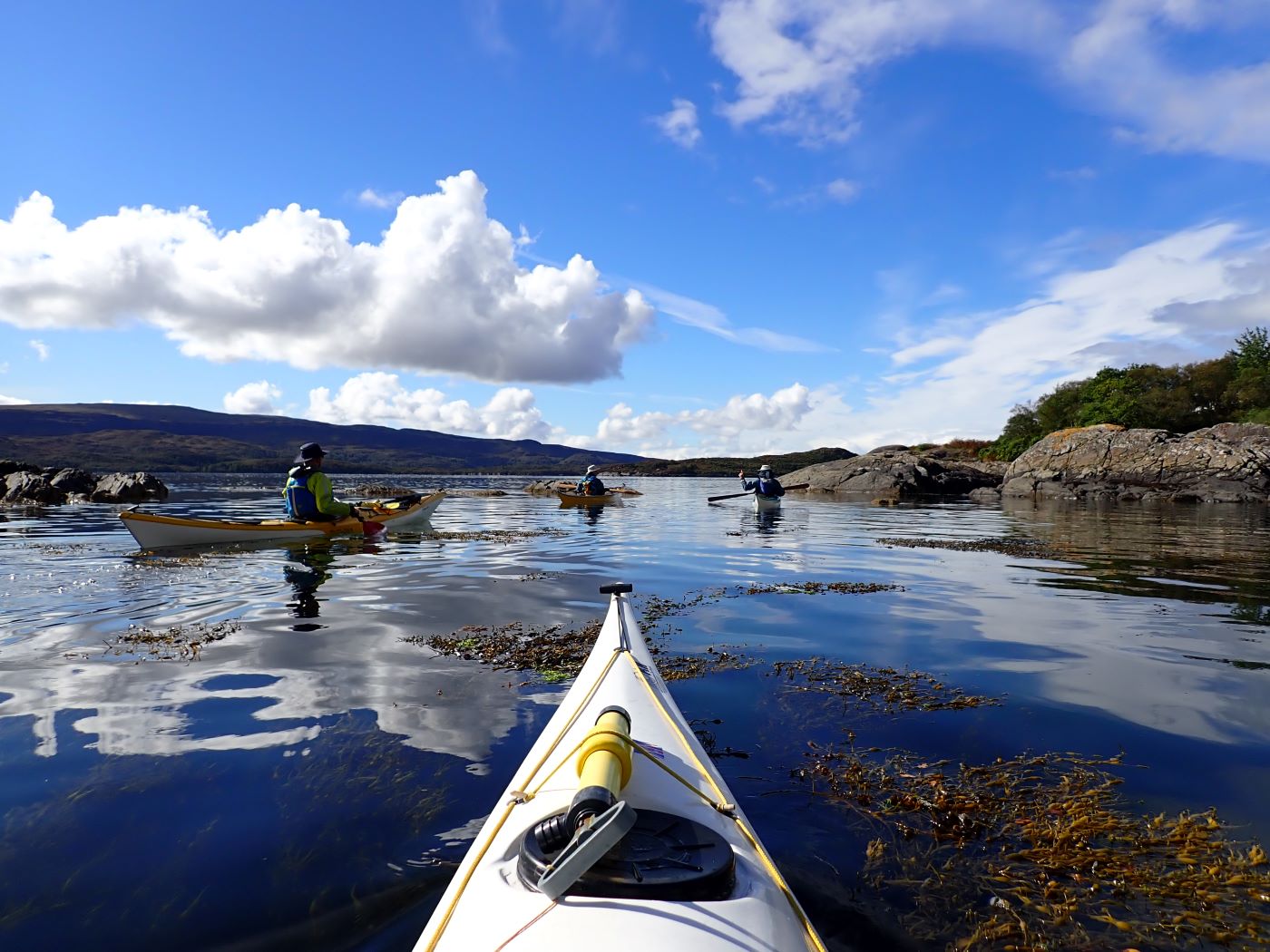
Saturday 27th July - Arisaig Skerries and Barbecue This was one of those summer days when coastal Lochaber seemed intent on showcasing all its finest features. The sun made an appearance, the wind did little to upset the sea, the small isles looked majestic, and the midges were enjoying a lie-in. A perfect day for a leisurely paddle around Loch nan Ceall, beginning and ending in Arisaig. Eight Club members set-off just before a mid-morning high-water, to ensure that they had sufficient water to get through the tidal channel between the Keppoch and Eilean Ighe. A leisurely pace was adopted; the boats gliding smoothly through unruffled water giving the paddlers tantalising glimpses to the seabed through swaying forests of bladderwrack; magical. A pull in on the sand beach at Gortenachullish, looking north towards Skye, was an ideal venue for a "first lunch." The conditions were so good that the team decided to change slightly from their advertised route to explore the west shore of Eilean Ighe. Lazy swells surging over the rocks and reefs gave a very enjoyable interlude to the sheltered waters inside the Skerries. Talk then turned to the question of where amongst the islets the best beach would be found for the much needed "second lunch". High water meant that there was a severe shortage of suitable real estate, and when on a couple of occasions, a suitable patch of sand was spotted it turned out to be already occupied by shore-parties from sailing boats in the south channel. After a looping exploration of the northern skerries, a tiny crescent of white sand was spotted and deemed to be big enough to accommodate 8 kayaks, and a landing was made. Once the party had consumed the rest of their rations it was decided that a B-line should be made back to Arisaig to get the barbecue lit for "lunch three". Of such days are memories made. Distance paddled: about 10 km. |
|||||
|
|
|
|
|
|
|
|
Paddlers: Jerry, Kate, Chris, Gill & Arthur, Bill & Elvire and Peter S. |
|||||
|
|
|||||
|
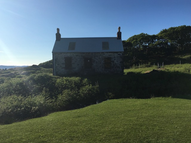
Sunday 11th August - Eilean Shona Cue for a song ... "What a difference a day makes"! This was certainly the case on Sunday 11th August when seven paddlers set off from Samalaman west of Glenuig to paddle to Eilean Shona. Despite the week before being plagued by strong winds and some torrential rain the forecast remained good for the chosen date. On the day the sun was shining, and the midge were even forgiven for enjoying the windless conditions! The sea on the coast facing west by Smirisary was still somewhat fractious from the previous gales and there was some swell, but the group made good time as they paddled south and turned in to the north channel of Loch Moidart just after high water to land at Baramore on Eilean Shona. After a quick change from paddling to walking gear, they set off to walk clockwise round the island. The path was very wet and muddy at the start, but after passing Shepherd’s Cottage and the Old School the going was much easier. The track hugged the north channel before turning south towards the main cluster of houses around the pier. Here they stopped to have a look at the ruins of an old water driven sawmill by Doireaneighinn. This mill was powered by water piped from a large reservoir which is now a beautiful lily pond. A further half kilometre took them to the welcoming village hall where lunch was eaten before they set off again past Eilean Shona House where the vehicle track runs out. The going again turned wet and muddy as the group climbed through the forest, which was littered with fallen trees, victims of past storms. As the path climbed out of the forest the group was rewarded with fine views out over the islands which guard the entrance to the south channel, before turning north above Bailetonach to tackle the steep "Saddle" which would lead them back to Baramore. From the high point of the Saddle more splendid views opened up right over to Kentra Bay and beyond. After a quick cup of tea on the beach at Baramore, it was back into paddling gear and back in the boats for a calm paddle back to Samalaman where the beach was awash with families enjoying the brief respite from the miserable weather. As with most paddles this year not much seabird life to report, but hundreds of Scotch Argus butterflies on Eilean Shona which was cheering. Big thankyou to everyone who came along and shared such a good day out. Also thankyou to the folk of Eilean Shon who gave their blessing to the invasion of their beautiful island! Distance paddled: 10km. Distance walked: 6km. |
|||||
|
|
|
|
|
|
|
|
Paddlers: Joan, Iain, Jill, Elizabeth, Tony, John and Peter S. |
|||||
|
|
|||||
|
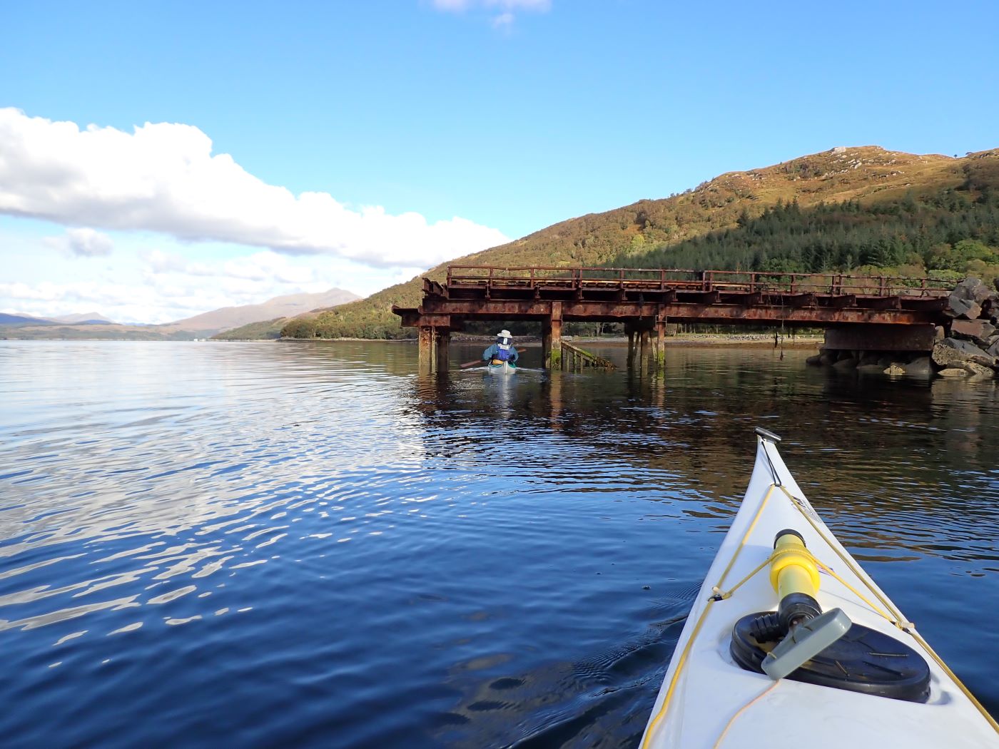
Wednesday 28th August 2024 - Loch Leven (not Lismore) The scheduled circumnavigation and overnight trip to Lismore was cancelled due to the strong wind forecast. It was decided to have a single day paddle and Loch Leven was chosen as a more sheltered location. We left Ballachulish and paddled up Loch Leven aided by the incoming tide. Despite the proximity of the road the south side of the loch does feel remote. Our first lunch spot at Caolas nan Con gave a lovely view back down the loch. Continuing up to Kinlochleven we had a close look at the old Kinlochleven smelter pier. It was constructed from concrete in 1907 by Robert McAlpine’s company and looked in good condition for it’s age. Bauxite and carbon for the smelter were unloaded here and transported to the smelter by an electric tramway. We had another break at the end of the loch and then paddled back. This became more of a challenge as the wind was against us and the rain became heavier. No stops on the way back and we arrived at the carpark drookit. Distance paddled: 24km. |
|||||
|
|
|
|
|
Paddlers: Joan, Ruth, Peter, Elvire and Bill |
|
|
|
|||||
|
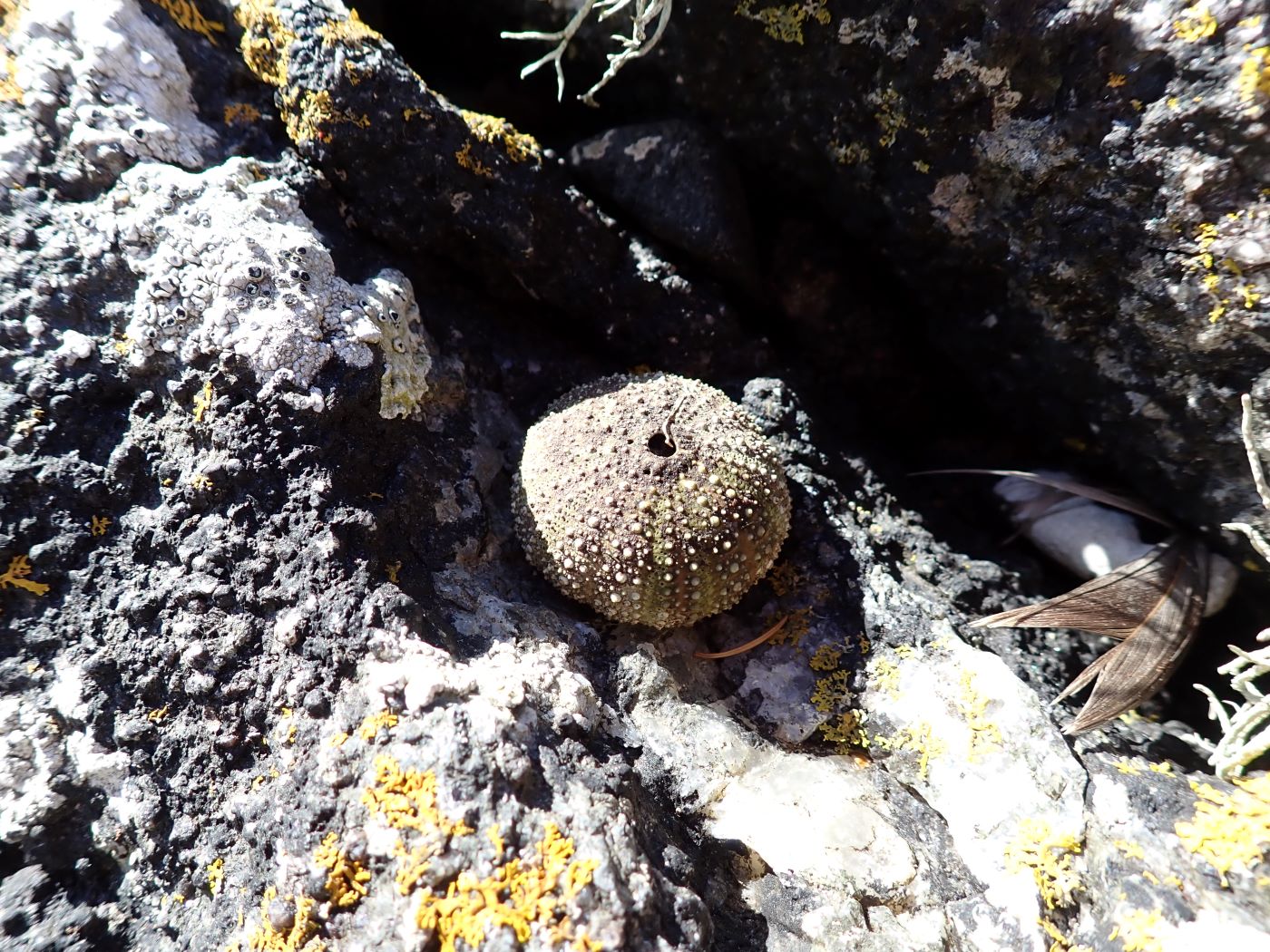
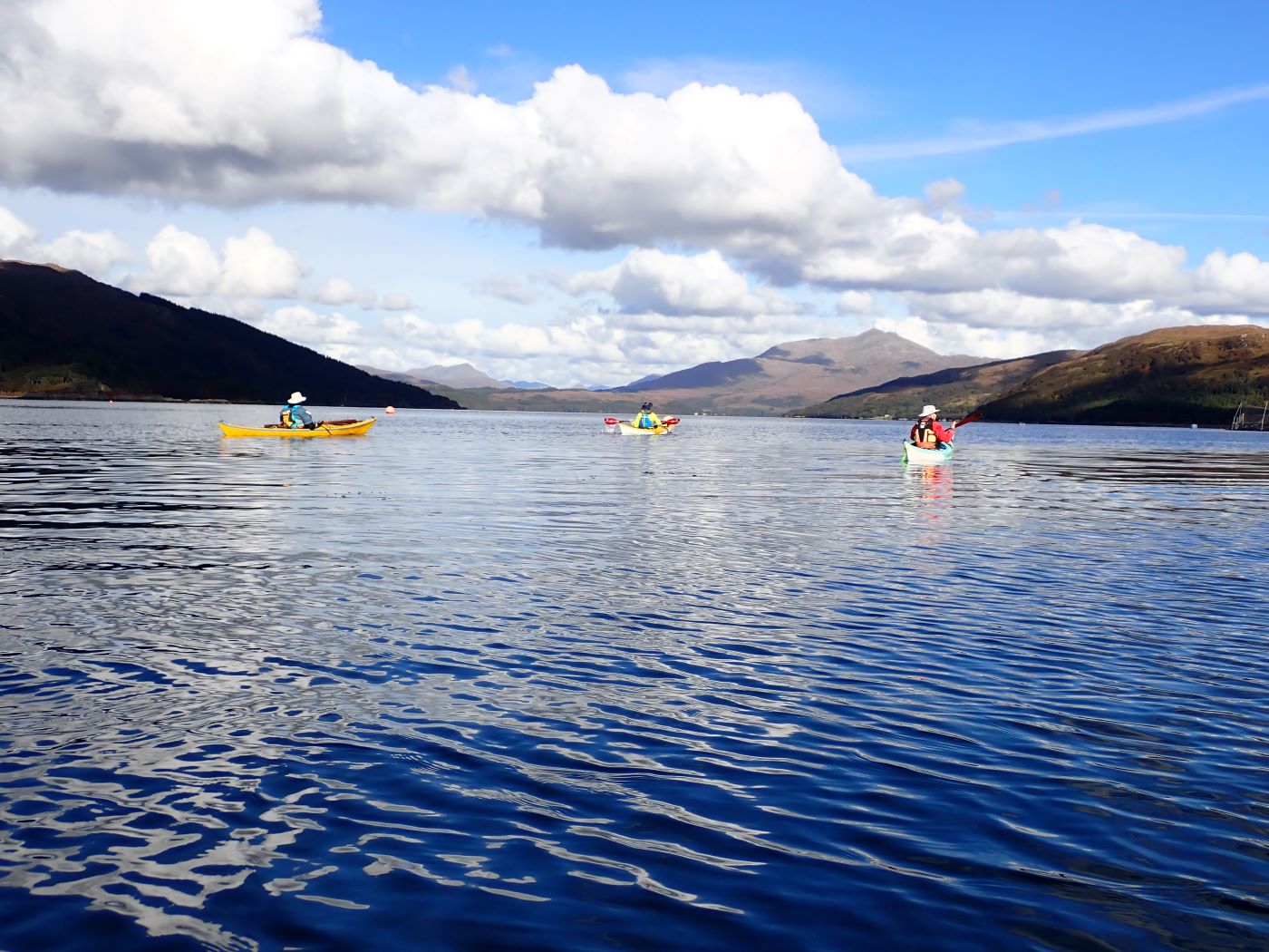
18th - 19th September - Loch Nevis After the wettest of summers everyone was holding out for an Indian summer…and by golly the week beginning 16th September certainly delivered with perfect weather to undertake one of the calendar’s notional paddles to the head of Loch Nevis. The short notice meant that only two members set off from the slip below the boardwalk and paddled past the Lord of the Isles before turning into Loch Nevis on the calmest of seas under the bluest of skies. An hour of easy paddling brought the pair to the beach behind Eilean Giubhais for a quick cuppa before turning into the loch proper. After passing the fish farms they reached Stoul where great swathes of the hillsides are covered in the parallel lines of old lazy beds. Another quick stop was taken at Ardintigh before they paddled past Tarbet Bay and into the swirling waters of the narrows where the spring tide was gathering pace. Around 6km later they arrived at Sourlies Bothy where mercifully the tide was well in (it can dry out for over a kilometre there!). After a quick look round the bothy the paddlers returned to their boats and paddled round to the narrow stretch of land leading out to Eilean Tioram where they pitched the tents on a narrow stretch of raised ground behind the beach. Having anxiously watched the tide creeping ever closer to the tents a quick dinner was cooked after high water before the pair turned in for the night watched over by a herd of deer who were totally unconcerned by their presence. The morning dawned bright, clear and windless and the paddlers were on the water early to catch the ebb tide going back through the narrows. Here the views to the sunbathed white buildings on Kyles Knoydart and Ardnamurach were amazing. It was decided to hug the north shore of the loch before calling in at Inverie for a coffee at the café. They were rewarded with a magical encounter with an otter and seeing hundreds of sea urchins feeding on kelp under the water. After coffee and scones and a leg stretch at Inverie the paddlers set off round Inverie Bay and past Plastic Mary to begin the last leg of their journey back to Mallaig agreeing that it was one of the best trips ever! Distance paddled: approx.50km. |
|||||
|
|
|
|
|
|
|
|
Paddlers: Iain and Joan |
|||||
|
|
|||||
|
25th September - (Not) Troup Head Another plan hits the dust as northerly winds and swell scuppered plans to paddle Troup Head on 24/25th September. However, a very pleasant alternative was hatched in the form of a one day paddle on Loch Sunart. On the 25th September, five paddlers set off from the picnic site just west of Salen and paddled to Dun Challain where they stopped for elevenses. This island and its Dun (fort) was well placed to watch for invaders coming from the west and making their way far inland to Strontian. From there they paddled west past Laga Bay and Glenborrodale Castle sighting a golden eagle circling high above Ben Laga. They rounded Risga Island and headed for the narrow channel between Oronsay and Carna. The even narrower channel between Oronsay and Eilean nan Eildean rewarded the paddlers with sightings of young seals, an otter and lots of grey heron. After stopping on Carna for lunch the group paddled through Caol Carna and back into Sunart, past the fish farm and on to admire the remains of the large concrete jetties at Glencripesdale, all the while taking note of suitable campsites for future adventures! Crossing the glassy calm waters of Loch Sunart, the group were soon back at the take out. Boats were loaded on to cars and the paddlers headed off home nursing memories of a great day’s paddling! Distance paddled: approx.22km. |
|||||
|
|
|
|
|
|
|
|
|
|||||
|
Paddlers: Mike, Bill Scott, Tony, Elizabeth and Joan |
|||||
|
|
|||||
|
|
|
|
|
|
|
|
|
|||||
|
|
|
|
|
|
|
|
|
|||||
|
|
|
|
|
|
|
|
|
|
|
|
|
|
| Paddlers: | |||||
|
|
|||||
|
|
|||||
|
|
|||||
 |
|
|
|
|
|
|
|
|
|
|
|
|
| Paddlers: | |||||
|
|
|||||
|
|
|
|
|
|
|
| Paddlers: | |||||
|
|
|||||